
The Clock Peaks rise above the town, often with a cloud caught on the summits. Below them: thatched roofs, limewashed walls, gardens behind walls. From the N2 on the edge of town you hear the trucks heading east. Voortrek Street is quieter.
Swellendam lies in the Overberg at the foot of the Langeberg. Sources put Cape Town 220 to 240 kilometres away, and George about 220. If you are driving between Cape Town and the Garden Route, this is very nearly the halfway mark. It is not a big place. The old town had 4,676 residents in the 2011 census, 17,537 including Railton, and the whole municipality counted 47,114 in 2022.
It is an old one, though. In 1743 Swellendam became a magisterial district, the third in the Cape Colony after Cape Town and Stellenbosch, which is why it is often called South Africa's third-oldest town. Other sources list it as the fifth-oldest. In 1747 the Dutch East India Company (VOC) built the Drostdy, the landdrost's seat of office. The town is named after Governor Hendrik Swellengrebel and his wife Helena ten Damme; the rest of the story is in the history of Swellendam.
Why the stop pays off
The centre is small enough for a walk. The Drostdy Museum, the Dutch Reformed Moederkerk and the Oefeningshuis sit close together, and according to Wikipedia Swellendam has more than 50 Provincial Heritage Sites. Nature starts at the edge of town. Marloth Nature Reserve lies directly above it, Bontebok National Park six to seven kilometres south. SANParks itself recommends the park as a stopover between Cape Town and the Garden Route.
One day in Swellendam
Start the morning at the Drostdy Museum. The complex takes in the 1747 Drostdy, the Old Gaol, the Ambagswerf craft yard and Mayville House with its rose garden. Opening hours are longest on weekdays. Then walk along Voortrek Street to the white church, consecrated in 1911, and on to the Oefeningshuis. The details are under things to see.
At lunchtime, take a table on the terrace at La Belle Alliance by the Koornlands River. In the afternoon, head for the mountains. The path to Duiwelsbos Waterfall in Marloth is 2 kilometres long, and CapeNature allows about two hours. For dinner, phone ahead, because several kitchens do not open every day. Which ones is listed under restaurants.
And on day two?
A second night gives you a full day outdoors. In Marloth, the Plaat Loop (12 kilometres) and the Appelsbos Loop (21 kilometres) lead deeper into the Langeberg, and Twaalfuurkop is the toughest day hike. If you prefer flat ground, drive into Bontebok National Park. From the Aloe Hill Trail you look across the Breede to the mountains. Trails and distances are under hiking and activities.
Or take the car. The Tradouw Pass leads to Barrydale on Route 62, and you can come back via Montagu and Ashton. Between June and November, southern right whales gather off the coast at Witsand and in De Hoop Nature Reserve. All of this is covered under around Swellendam.
NoteAfter the flood of May 2026, Bontebok National Park has been reopening in phases since 1 August 2026. As of 1 September 2026 the Aloe Hill, Acacia and Termite trails were open, while the Bushbuck and Ou Tuin trails and the Die Stroom picnic site were still closed. Check with SANParks before you go.
- In townThings to see
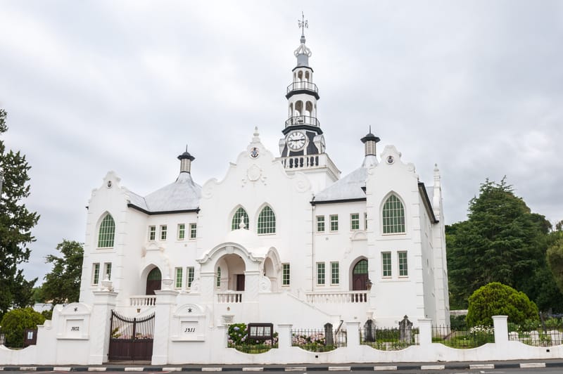
A Drostdy from 1747, the old gaol next door and a white church with a clock tower.
- Day tripsBontebok National Park and around
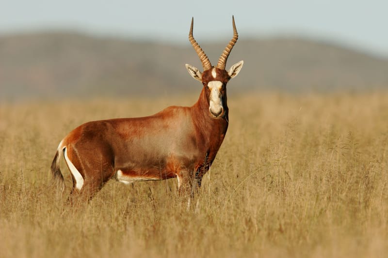
A park created for one antelope, at a time when only about 17 of them were left.
- OutdoorsHiking and activities
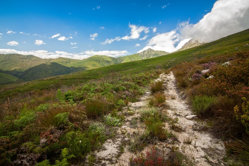
Two kilometres to a waterfall, or five days and four huts across the Langeberg.
- StayWhere to stay
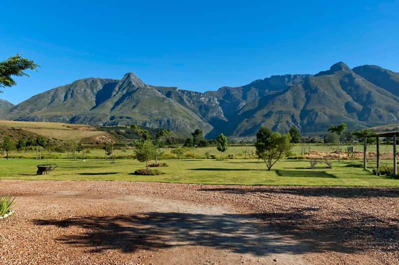
Guesthouses in the old centre, farms outside town and a rest camp on the Breede.
- EatRestaurants and cafés
Breakfast on a terrace by the river, ostrich and kudu for dinner in a Victorian house.
- BackgroundHistory
In June 1795 the burghers of Swellendam declared their own republic, and it lasted only months.
- PlanningGetting there
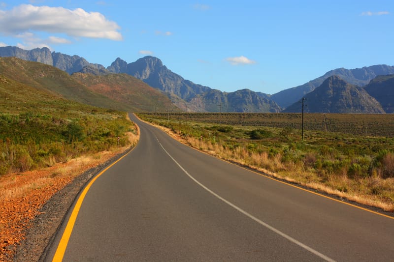
Out over Sir Lowry's Pass, back through Worcester and Robertson, and Wikivoyage says the return takes no longer.


- Cape Town
- 220 to 240 kmon the N2, depending on the source
- George
- about 220 kmtowards the Garden Route
- Magisterial district
- since 1743the third in the Cape Colony
- Population
- 17,537main place including Railton, 2011 census
- Bontebok National Park
- 6 to 7 kmfrom Swellendam, sources differ
Frequently asked questions about Swellendam
Is Swellendam worth a stop on the way to the Garden Route?
Swellendam lies on the N2 roughly halfway between Cape Town and George, and sources put it 220 to 240 kilometres from Cape Town. The old centre with the Drostdy Museum and the Dutch Reformed Moederkerk is easy to explore on foot, and SANParks itself recommends nearby Bontebok National Park as a stopover between Cape Town and the Garden Route.
How many nights should you spend in Swellendam?
One night in Swellendam is enough for the old centre with the Drostdy and the church. Two nights give you a full day for Bontebok National Park or a hike in Marloth Nature Reserve, and three are worth it if you add the loop over the Tradouw Pass or a trip to the coast at Witsand.
What can you do in Swellendam in one day?
Spend the morning in Swellendam at the Drostdy Museum, then walk along Voortrek Street to the Dutch Reformed Moederkerk and the Oefeningshuis. In the afternoon head up into Marloth Nature Reserve above the town, for example to Duiwelsbos Waterfall, and in the evening eat at one of the restaurants on Voortrek Street after phoning ahead.
How many people live in Swellendam?
That depends on where you draw the line. The 2011 census counted 17,537 people in the main place of Swellendam including Railton and 4,676 in the old town alone; the whole Swellendam municipality had 47,114 residents in the 2022 census.